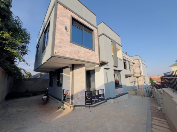
Land survey in Uganda and its importance
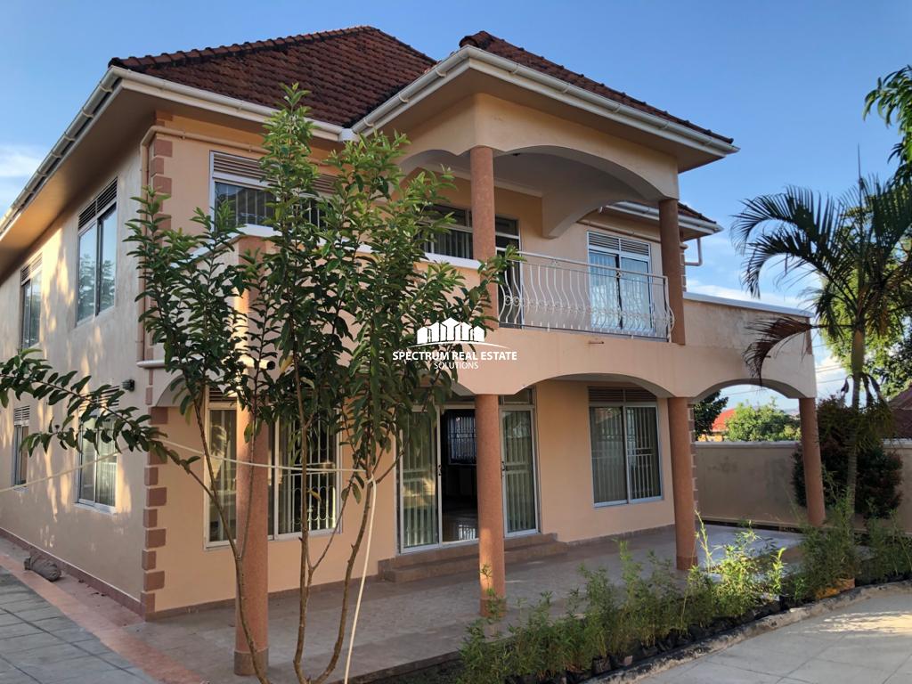
If you’re buying land for sale, a property with the intention of developing or significantly renovating it, well you need to know about land surveying. Our commitment to accuracy means our surveyors use leading-edge technology to maximize productivity and ensure that each project meets exact specifications.
Importance of Land surveying
Surveyors play an integral role in land development, from the planning and design of land subdivisions through to the final construction of roads, utilities and landscaping. Surveyors are the first people on any construction site, measuring and mapping the land. These primary measurements are then used by architects to understand and make the most of the unique landscape when designing and engineers to plan structures accurately and safely, ensuring buildings not only fit with the landscape but are able to be constructed.
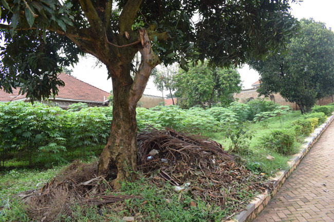
It is necessary to mark the boundaries on the ground, so that they are clear to observers standing on or near the property. Also surveying and land surveying is intended to provide the evidence needed by the title insurer to delete certain standard exceptions to coverage and thereby provide “extended coverage” against off-record title matters including matters that would be revealed by an accurate survey.
Many properties have considerable problems in regard to improper bounding, miscalculations in past surveys, titles, easements, and wildlife crossings. Also many properties are created from multiple divisions of a larger piece over the course of years, and with every additional division the risk of miscalculation increases. The result can be abutting properties not coinciding with adjacent parcels, resulting in gaps and overlaps.
Many times a surveyor must solve a puzzle using pieces that do not exactly fit together. In these cases, the solution is based upon the surveyor’s research and interpretation, along with established procedures for resolving discrepancies. This essentially is a process of continual error correction and update, where official recordation documents countermand the previous and sometime erroneous survey documents recorded by older monuments and older survey methods.
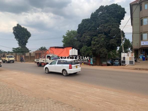
A surveyor can help you find out the boundary measurements of the land that you plan to buy. Wondering if trees, fences, etc. actually lie on your prospective property? Land surveyors can give you the answer! They can also determine if there is intrusion of the property that you plan to buy; for instance, a portion of a house stands on your prospective land.
Furthermore, surveyors can help you regarding zoning and building regulations. If you want to buy a land and eventually build on it, they can help you identify possible problems. The same thing goes when you plan to buy a land that may be hard to build on. Your surveyor will help you determine potential problems and look for possible solutions. You don’t want to make the mistake of buying the wrong property, do you? Let’s take this crucial step before investing in any property now or in future.
For a variety of reasons, on occasion two neighboring land owners may come into a dispute about conflicting property boundaries. When a boundary survey is conducted, a surveyor locates the boundaries of the property on the ground, as described in your deed. This step should always be taken before constructing anything, such as a fence, that is likely to approach the property line. If conflicts exist between your surveyor’s interpretation of the boundary and your neighbor’s interpretation of the boundary, the surveyor should attempt to determine the reason for the discrepancy and advise you on proper remedies.
Stages in Surveying
Planning
To decide
- The methods to be adopted for surveying;
- The resources (instruments & personnel) to be used;
- The control points / stations to be used (those already available and/ or to set up).
The planning operation needs a-prior field visit and this is known as reconnaissance.
Field Observation
It involves
- Collection of field data by making necessary measurements;
- Recording of observed data in a systematic manner. Before starting any field observation, the permanent adjustments of all the instruments need to be checked thoroughly by trained personnel and if required, it must be adjusted.
Office Works
It involves
- Processing, analyzing and calculation of observed data;
- Preparation of necessary data (for making plan or map of the area);
- Making of a plan or map of the area;
- Computation of relevant field parameters as per design for setting out engineering works at site.
Setting Out Works
To locate and establish different parameters / dimensions at the site as per design for further engineering works.